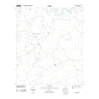
2010 Map of Youngsport
USGS Topo · Published 2010About this map
The Lampasas River carves a winding path through this portion of Bell County, anchoring the rural settlement of Youngsport. This area is defined by a series of prominent elevations and natural water sources, including Horse Thief Mountain, Paisano Peak, and Turnbow Mountain. To the north, the terrain gives way to the southern reaches of Stillhouse Hollow Lake, while the interior is drained by numerous seasonal waterways like Buttermilk Creek and Stillman Valley Creek.
Find a feature on this map
38 named features on this map. Tap any name to fly to it.
Don’t see what you’re looking for? This feature index may not catch every label — zoom into the map to look around manually.
Map Details
Editions of this 2010 Youngsport Map
This is the sole edition of this map. No revisions or reprints were ever made.
Other maps of this area
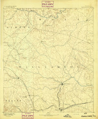
1893 · Georgetown
USGS Topo · 1:125,000
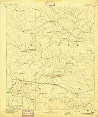
1894 · Gatesville
USGS Topo · 1:125,000
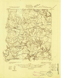
1924 · Gatesville 4-d
USGS Topo · 1:48,000
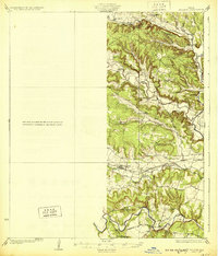
1930 · Killeen
USGS Topo · 1:62,500
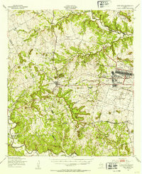
1947 · Fort Hood
USGS Topo · 1:62,500
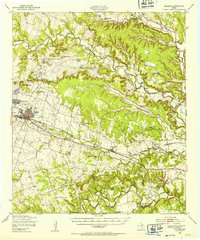
1947 · Killeen
USGS Topo · 1:62,500
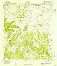
1947 · McMillan Mountains
USGS Topo · 1:24,000
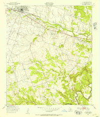
1947 · Killeen
USGS Topo · 1:24,000
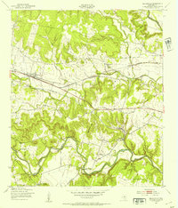
1947 · Nolanville
USGS Topo · 1:24,000

1954 · Waco
USGS Topo · 1:250,000