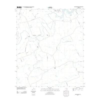
2013 Map of Youngsport
USGS Topo · Published 2013About this map
Youngsport and the winding Lampasas River anchor this central Texas landscape, characterized by a series of prominent limestone rises and spring-fed valleys. To the northeast, the terrain slopes toward Stillhouse Hollow Lake, while higher elevations such as Horse Thief Mtn and Paisano Peak overlook the river's path. The settlement patterns follow these watercourses and ridgelines, with Cedar Valley and the Solana Ranch area showing the continued agricultural and ranching heritage of Bell County. Numerous named springs, including Underwood Spring, Abbott Spring, and the Warwick Springs Headquarters Springs, indicate the vital role of groundwater in this environment. Local routes like Live Oak Cemetery Rd and Iron Bridge Ln provide specific points of interest for genealogists tracing family footprints through the historic Stillman Valley and the surrounding peaks.
Find a feature on this map
57 named features on this map. Tap any name to fly to it.
Don’t see what you’re looking for? This feature index may not catch every label — zoom into the map to look around manually.
Map Details
Editions of this 2013 Youngsport Map
This is the sole edition of this map. No revisions or reprints were ever made.
Other maps of this area

1893 · Georgetown
USGS Topo · 1:125,000

1894 · Gatesville
USGS Topo · 1:125,000

1924 · Gatesville 4-d
USGS Topo · 1:48,000

1930 · Killeen
USGS Topo · 1:62,500

1947 · Fort Hood
USGS Topo · 1:62,500

1947 · Killeen
USGS Topo · 1:62,500

1947 · McMillan Mountains
USGS Topo · 1:24,000

1947 · Killeen
USGS Topo · 1:24,000
1947 · Nolanville
USGS Topo · 1:24,000

1954 · Waco
USGS Topo · 1:250,000