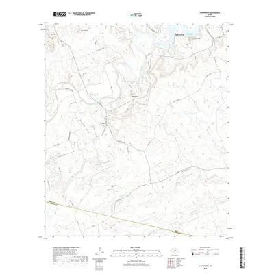
2019 Map of Youngsport
USGS Topo · Published 2019About this map
Youngsport and the surrounding Hill Country terrain are defined by the winding course of the Lampasas River, which flows toward the expansive waters of Stillhouse Hollow Lake in the northeast. This 2019 survey documents a landscape of dramatic elevation changes and named high points such as Horse Thief Mtn, Paisano Peak, and Turnbow Mtn. The region is characterized by a complex network of seasonal drainages and permanent water sources, including Abbott Spring and Underwood Spring, which feed into the Stillman Valley and Stillman Valley Cr. The map reveals the modern rural layout of southwestern Killeen and northern Bell County, where long-established ranch roads like Crows Ranch Rd and Seven Ranch Rd traverse the ridges and valleys. Evidence of the area's geological and social history is found in landmarks like Cedar Knob and the historic river crossings that shaped local transit before the modern highway system was fully established.
Find a feature on this map
54 named features on this map. Tap any name to fly to it.
Don’t see what you’re looking for? This feature index may not catch every label — zoom into the map to look around manually.
Map Details
Editions of this 2019 Youngsport Map
This is the sole edition of this map. No revisions or reprints were ever made.
Other maps of this area

1893 · Georgetown
USGS Topo · 1:125,000

1894 · Gatesville
USGS Topo · 1:125,000

1924 · Gatesville 4-d
USGS Topo · 1:48,000

1930 · Killeen
USGS Topo · 1:62,500

1947 · Fort Hood
USGS Topo · 1:62,500

1947 · Killeen
USGS Topo · 1:62,500

1947 · McMillan Mountains
USGS Topo · 1:24,000

1947 · Killeen
USGS Topo · 1:24,000
1947 · Nolanville
USGS Topo · 1:24,000

1954 · Waco
USGS Topo · 1:250,000