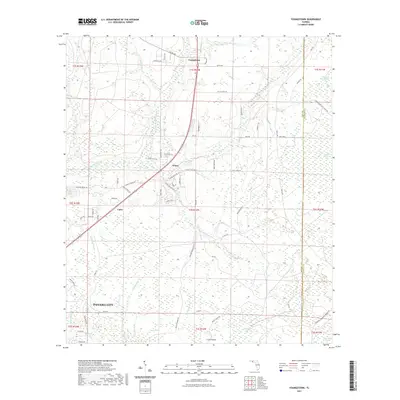
2021 Map of Youngstown
USGS Topo · Published 2021About this map
Youngstown and the surrounding piney flatlands of northern Bay County are defined by an intricate network of wetlands and creek branches. This landscape is characterized by its transition from small clusters like Nixon and Cairo to the more developed fringes of Panama City in the southwest. A legacy of local land use is evident in the naming of waterways and lowlands such as Bear Creek, Bird Pond Slough, and Juniper Creek, which feed into larger systems like Bayou George.
Find a feature on this map
78 named features on this map. Tap any name to fly to it.
Don’t see what you’re looking for? This feature index may not catch every label — zoom into the map to look around manually.
Map Details
Editions of this 2021 Youngstown Map
This is the sole edition of this map. No revisions or reprints were ever made.
Other maps of this area

1944 · Bayhead
USGS Topo · 1:24,000

1944 · Bennett
USGS Topo · 1:24,000

1945 · Juniper Creek
USGS Topo · 1:31,680

1945 · Youngstown
USGS Topo · 1:31,680

1945 · Bennett
USGS Topo · 1:31,680

1945 · Bayhead
USGS Topo · 1:31,680

1945 · Broad Branch
USGS Topo · 1:31,680

1945 · North Of Allanton
USGS Topo · 1:31,680

1945 · Fountain
USGS Topo · 1:31,680

1945 · Tenmile Swamp
USGS Topo · 1:31,680