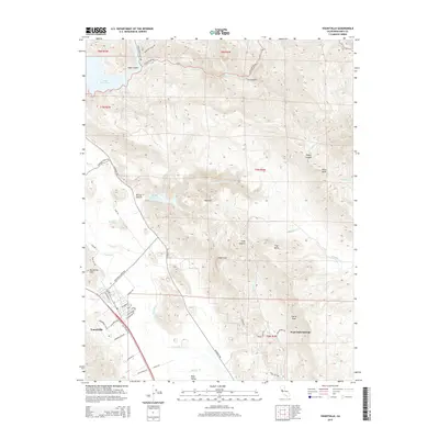
2015 Map of Yountville
USGS Topo · Published 2015About this map
Yountville and the surrounding Napa Valley wine country are defined by a mix of intensive agriculture and dramatic geological formations. The town is situated on the west side of the valley, just below the Yountville Hills and Hopper Cr. This landscape is bordered to the east by the Vaca Range, featuring prominent landmarks such as Stags Leap, Atlas Peak, and the heights of Castle Peak.
Find a feature on this map
57 named features on this map. Tap any name to fly to it.
Don’t see what you’re looking for? This feature index may not catch every label — zoom into the map to look around manually.
Map Details
Editions of this 2015 Yountville Map
This is the sole edition of this map. No revisions or reprints were ever made.
Other maps of this area

1902 · Napa
USGS Topo · 1:125,000

1921 · Mt. Vaca
USGS Topo · 1:62,500

1924 · Capay
USGS Topo · 1:62,500

1942 · Sonoma
USGS Topo · 1:62,500

1942 · Mt. Vaca
USGS Topo · 1:62,500

1942 · St. Helena
USGS Topo · 1:62,500

1943 · Capay
USGS Topo · 1:62,500

1945 · Capay
USGS Topo · 1:62,500

1945 · St. Helena
USGS Topo · 1:62,500

1947 · Santa Rosa
USGS Topo · 1:250,000