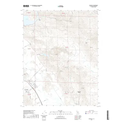
2018 Map of Yountville
USGS Topo · Published 2018About this map
Yountville and the famous viticultural corridor of the Napa Valley define the western portion of this 2018 survey. The landscape transitions quickly from the town's residential streets, such as Washington St and California Dr, to the prominent Yountville Hills and the winding Silverado Trl. To the east, the terrain becomes increasingly complex as it rises toward Atlas Peak and Castle Peak, with Foss Valley and the steep escarpments of Stags Leap punctuating the mountain range. Significant water management features, including Lake Hennessey in the north and Rector Reservoir tucked into Rector Canyon, highlight the region's essential infrastructure. Historic landmarks like the Veterans Memorial Grove Cem and the hillside location of Napa Soda Springs offer specific points of interest for genealogists and local historians tracking the development of this iconic California landscape.
Find a feature on this map
62 named features on this map. Tap any name to fly to it.
Don’t see what you’re looking for? This feature index may not catch every label — zoom into the map to look around manually.
Map Details
Editions of this 2018 Yountville Map
This is the sole edition of this map. No revisions or reprints were ever made.
Other maps of this area

1902 · Napa
USGS Topo · 1:125,000

1921 · Mt. Vaca
USGS Topo · 1:62,500

1924 · Capay
USGS Topo · 1:62,500

1942 · Sonoma
USGS Topo · 1:62,500

1942 · Mt. Vaca
USGS Topo · 1:62,500

1942 · St. Helena
USGS Topo · 1:62,500

1943 · Capay
USGS Topo · 1:62,500

1945 · Capay
USGS Topo · 1:62,500

1945 · St. Helena
USGS Topo · 1:62,500

1947 · Santa Rosa
USGS Topo · 1:250,000