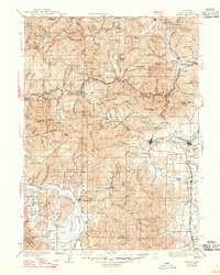
1939 Map of Yreka
USGS Topo · Published 1947About this map
Yreka serves as the focal point of this northern Siskiyou County landscape, where the Shasta River valley meets the complex mountains of the Klamath National Forest. The map documents a rugged extractive economy at the end of the 1930s, defined by numerous remote operations such as the Sterling Mine, Cinnabar Mine, and Eliza Mine. Transportation is dominated by the Southern Pacific railroad corridor, which links the settlements of Hornbrook, Montague, Grenada, and Gazelle. To the west, the Scott River valley supports a series of smaller communities including Fort Jones, Greenview, and Mugginsville. A notable concentration of rural infrastructure is visible in the numerous district schools like Delphic Sch and Meamber Sch, reflecting a distributed population prior to the mid-century consolidation of local education and the modern highway system.
Find a feature on this map
183 named features on this map. Tap any name to fly to it.
Don’t see what you’re looking for? This feature index may not catch every label — zoom into the map to look around manually.
Map Details
Editions of this 1939 Yreka Map
2 editions found

Other maps of this area

1886 · Shasta
USGS Topo · 1:250,000

1891 · Ashland
USGS Topo · 1:250,000

1893 · Ashland
USGS Topo · 1:250,000

1894 · Shasta
USGS Topo · 1:250,000

1897 · Ashland
USGS Topo · 1:250,000

1908 · Grants Pass
USGS Topo · 1:125,000

1914 · Seiad
USGS Topo · 1:125,000

1921 · Shasta Valley Sheet No 7
USGS Topo · 1:24,000

1921 · Shasta Valley Sheet No 1
USGS Topo · 1:24,000

1921 · Shasta Valley Sheet No 6
USGS Topo · 1:24,000