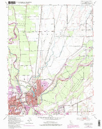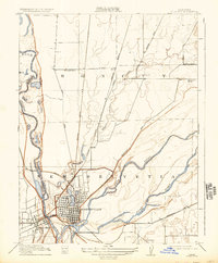
1911 Map of Yuba City
USGS Topo · Published 1934About this map
Marysville and Yuba City sit at the critical confluence of the Yuba River and the Feather River, serving as a central hub for the agricultural and transport networks of Northern California. This early 20th-century landscape is defined by the rigid grid of the city streets contrasted against the serpentine paths of waterways like Jack Slough and Gilsizer Slough. The infrastructure of the era is prominently displayed through the Southern Pacific RR lines and major thoroughfares such as Bangor Road and Laporte Road, which connected the valley to the surrounding foothills. Rural life outside the urban centers is marked by isolated landmarks like the Sevenmile House and essential community hubs including Woodruff School, Cordua School, and Linda School. Large land grants and early regional divisions such as New Helvetia, Honcut, and Boga remain visible, reflecting the area's transition from 19th-century rancho boundaries to a modernizing railroad economy.
Find a feature on this map
22 named features on this map. Tap any name to fly to it.
Don’t see what you’re looking for? This feature index may not catch every label — zoom into the map to look around manually.
Map Details
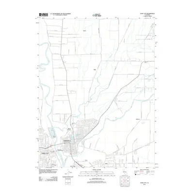
Editions of this 1911 Yuba City Map
2 editions found

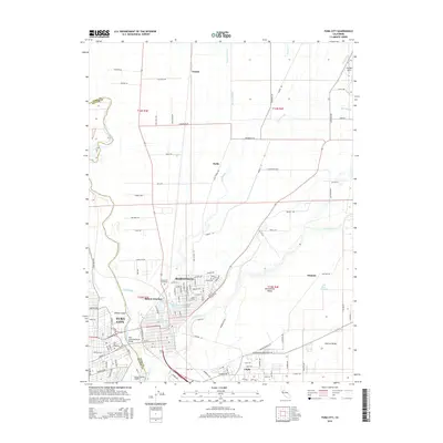
Historical Maps of Yuba City Through Time
7 maps found