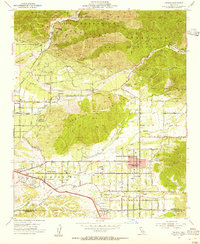
1954 Map of Yucaipa
USGS Topo · Published 1955About this map
The Crafton Hills and the southern slopes of the San Bernardino Mountains define this landscape, where the Santa Ana River basin meets the developing citrus and agricultural groves of the mid-1950s. The burgeoning community of Yucaipa serves as a central hub, flanked by the residential pockets of Dunlap Acres and Calimesa to the south. Local education and infrastructure are clearly marked, featuring Greenleaf School, Dunlap Sch, and the Yucaipa Jr High Sch.
Find a feature on this map
47 named features on this map. Tap any name to fly to it.
Don’t see what you’re looking for? This feature index may not catch every label — zoom into the map to look around manually.
Map Details
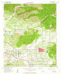
Editions of this 1954 Yucaipa Map
2 editions found
Other maps of this area

1899 · Redlands
USGS Topo · 1:62,500

1901 · Southern California Sheet No. 1
USGS Topo · 1:250,000

1901 · San Jacinto
USGS Topo · 1:125,000

1901 · Redlands
USGS Topo · 1:62,500

1901 · Elsinore
USGS Topo · 1:125,000

1902 · San Gorgonio
USGS Topo · 1:125,000

1904 · Southern California Sheet No. 1
USGS Topo · 1:250,000

1942 · Banning
USGS Topo · 1:62,500

1942 · Perris
USGS Topo · 1:62,500

1943 · Perris
USGS Topo · 1:62,500