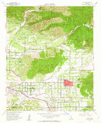
1954 Map of Yucaipa
USGS Topo · Published 1963About this map
The Crafton Hills and San Bernardino Mountains dominate this mid-century portrait of a changing agricultural and residential landscape. While the northern reaches are preserved within the San Bernardino National Forest, featuring landmarks like Morton Peak and the Thurman Flat Guard Sta, the lowlands show the expansion of Yucaipa and Calimesa along the San Bernardino and Riverside County line. The importance of water management is evident in the complex network of the Santa Ana River, the historic Zanja, and the Wilson Flood Control Basin. Educational hubs such as the Greenleaf School and Dunlap Sch serve the growing neighborhoods of Dunlap Acres and Crafton. The presence of the Grafton Hills Airport and a Fish Hatchery reflects the diverse land use in the San Bernardino Valley during this period of post-war growth.
Find a feature on this map
49 named features on this map. Tap any name to fly to it.
Don’t see what you’re looking for? This feature index may not catch every label — zoom into the map to look around manually.
Map Details
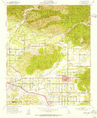
Editions of this 1954 Yucaipa Map
2 editions found
Other maps of this area

1899 · Redlands
USGS Topo · 1:62,500

1901 · Southern California Sheet No. 1
USGS Topo · 1:250,000

1901 · San Jacinto
USGS Topo · 1:125,000

1901 · Redlands
USGS Topo · 1:62,500

1901 · Elsinore
USGS Topo · 1:125,000

1902 · San Gorgonio
USGS Topo · 1:125,000

1904 · Southern California Sheet No. 1
USGS Topo · 1:250,000

1942 · Banning
USGS Topo · 1:62,500

1942 · Perris
USGS Topo · 1:62,500

1943 · Perris
USGS Topo · 1:62,500