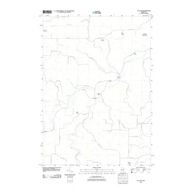
2010 Map of Yucatan
USGS Topo · Published 2010About this map
The settlement of Yucatan sits at the junction of several drainage systems in Houston County, where the South Fork Root River and Riceford Creek carve deep valleys through the upland terrain. This landscape is defined by its prominent ridges and coulees, including Oak Ridge, Irish Ridge, and the winding Yucatan Valley. The distribution of rural cemeteries, such as Kopperud Cemetery and Old Ridge Cemetery, highlights the long-standing agricultural communities that have farmed these heights and valleys for generations.
Find a feature on this map
49 named features on this map. Tap any name to fly to it.
Don’t see what you’re looking for? This feature index may not catch every label — zoom into the map to look around manually.
Map Details
Editions of this 2010 Yucatan Map
This is the sole edition of this map. No revisions or reprints were ever made.
Other maps of this area

1954 · Lewiston
USGS Topo · 1:62,500

1958 · Houston
USGS Topo · 1:62,500

1958 · La Crosse
USGS Topo · 1:250,000

1961 · La Crosse
USGS Topo · 1:250,000

1965 · La Crosse
USGS Topo · 1:250,000

1965 · Wilmington
USGS Topo · 1:24,000

1965 · Mabel
USGS Topo · 1:24,000

1965 · Spring Grove
USGS Topo · 1:24,000

1965 · Sheldon
USGS Topo · 1:24,000

1965 · Yucatan
USGS Topo · 1:24,000