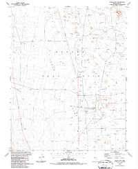
1986 Map of Yucca Flat
USGS Topo · Published 1987About this map
Nevada Test Site operations define the landscape of Yucca Flat during this mid-1980s period of government activity. The map reveals an intricate network of specialized infrastructure supporting nuclear research and testing, including numerous Drill Holes, a designated Blast Center, and the Area 3 Mud Plant. The terrain is marked by utility and logistical hubs such as B J Wye and several substations, reflecting the intensive development of this high-security zone. Transportation is centered on specialized routes like the Mercury Highway, Pahute Mesa Road, and Rainier Mesa Road. Beyond the industrial footprint, natural landmarks like Balloon Hill stand above a valley floor pockmarked by extensive Borrow Pits and gravel extractions, illustrating the scale of land alteration required for the site's unique mission.
Find a feature on this map
19 named features on this map. Tap any name to fly to it.
Don’t see what you’re looking for? This feature index may not catch every label — zoom into the map to look around manually.
Map Details
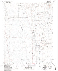
Editions of this 1986 Yucca Flat Map
2 editions found
Other maps of this area

1907 · Las Vegas
USGS Topo · 1:250,000

1908 · Kawich
USGS Topo · 1:250,000

1908 · Furnace Creek
USGS Topo · 1:250,000

1908 · Las Vegas
USGS Topo · 1:250,000

1910 · Furnace Creek
USGS Topo · 1:250,000

1942 · Emigrant Valley
USGS Topo · 1:125,000

1942 · Indian Spring
USGS Topo · 1:125,000

1942 · Wheelbarrow Peak
USGS Topo · 1:125,000

1942 · Skull Mountain
USGS Topo · 1:125,000

1948 · Death Valley
USGS Topo · 1:250,000