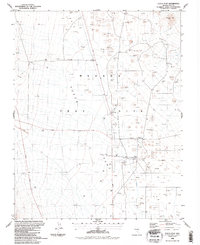
1986 Map of Yucca Flat
USGS Topo · Published 1987About this map
Nevada Test Site infrastructure dominates this mid-1980s survey, revealing a landscape defined by industrial and scientific utility within Yucca Flat. The map documents a dense concentration of drill holes and borrow pits that punctuate the basin floor, reflecting the intense subsurface activity of the era. Key operational hubs such as the Area 3 Camp and Area 3 Mud Plant are positioned along the primary transit corridors of Mercury Highway and Tippipah Highway.
Find a feature on this map
18 named features on this map. Tap any name to fly to it.
Don’t see what you’re looking for? This feature index may not catch every label — zoom into the map to look around manually.
Map Details
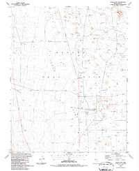
Editions of this 1986 Yucca Flat Map
2 editions found
Other maps of this area

1907 · Las Vegas
USGS Topo · 1:250,000

1908 · Kawich
USGS Topo · 1:250,000

1908 · Furnace Creek
USGS Topo · 1:250,000

1908 · Las Vegas
USGS Topo · 1:250,000

1910 · Furnace Creek
USGS Topo · 1:250,000

1942 · Emigrant Valley
USGS Topo · 1:125,000

1942 · Indian Spring
USGS Topo · 1:125,000

1942 · Wheelbarrow Peak
USGS Topo · 1:125,000

1942 · Skull Mountain
USGS Topo · 1:125,000

1948 · Death Valley
USGS Topo · 1:250,000