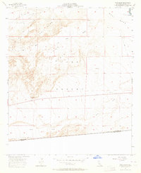
1957 Map of Yuha Basin
USGS Topo · Published 1964About this map
Yuha Basin dominates this late-1950s survey of the California-Mexico borderlands, revealing a landscape defined by arroyo drainage and fossilized history. The northern reaches are characterized by the Yuha Buttes and the notable Shell Beds, indicating the area's ancient geological origins. To the south, the international boundary between the United States and Mexico is clearly marked, paralleled by a network of unimproved roads and a Jeep Trail that traverse the desert floor. The drainage patterns of Yuha Wash and Pinto Wash illustrate the natural runoff systems of this arid region, while the presence of the W Side Main Canal and Dixie Drain 2 in the northeast corner signals the edge of the Imperial Valley's irrigation efforts during the era of Governor Goodwin J. Knight. Local landmarks such as Sunrise Butte and a Gravel Pit provide specific points of reference for those studying mid-century land use in Imperial County.
Find a feature on this map
18 named features on this map. Tap any name to fly to it.
Don’t see what you’re looking for? This feature index may not catch every label — zoom into the map to look around manually.
Map Details
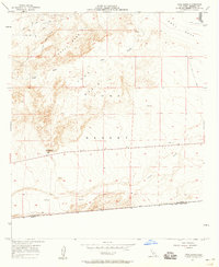
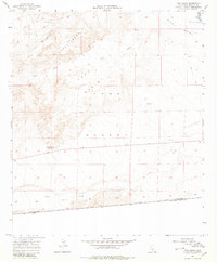
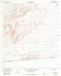
Editions of this 1957 Yuha Basin Map
4 editions found
Other maps of this area

1915 · El Centro
USGS Topo · 1:125,000

1940 · Brawley
USGS Topo · 1:62,500

1940 · Heber
USGS Topo · 1:62,500

1940 · Plaster City
USGS Topo · 1:62,500

1940 · Coyote Wells
USGS Topo · 1:62,500

1942 · El Centro
USGS Topo · 1:250,000

1943 · Coyote Wells
USGS Topo · 1:62,500

1943 · Heber
USGS Topo · 1:62,500

1943 · Brawley
USGS Topo · 1:62,500

1944 · Plaster City
USGS Topo · 1:62,500