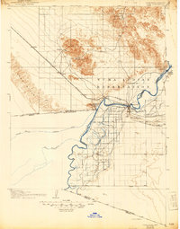
1903 Map of Yuma
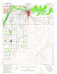
USGS Topo · Published 1964About this map
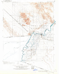
The Colorado River serves as the central artery for this borderland survey, where early 20th-century irrigation and mining efforts are etched into the desert landscape. The Imperial Canal and American Canal branch south toward the international boundary at California Baja California, illustrating the massive engineering undertaking to water the valley before modern dams. North of Yuma, the landscape is dominated by the Yuma Indian Reservation and industrial markers like the Picacho Mine and American Mine. These sites, along with the American Girl Pump, highlight the period’s extraction and water-management priorities. Transportation is anchored by the Southern Pacific R. R. cutting through the Sand Hills, connecting remote stops like Ogilby and Cactus to the growing hub of Yuma. This map preserves a view of the region just as the foundational river works were being established.
Find a feature on this map
43 named features on this map. Tap any name to fly to it.
Don’t see what you’re looking for? This feature index may not catch every label — zoom into the map to look around manually.
Map Details
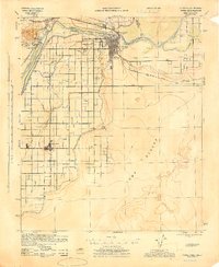
Editions of this 1903 Yuma Map
2 editions found

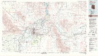
Historical Maps of Yuma Through Time
6 maps found