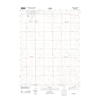
2013 Map of Yuma South
USGS Topo · Published 2013About this map
The City of Yuma anchors the northern edge of this high plains landscape, where the town's residential street grid meets the expansive agricultural reaches of Yuma County. At the southern edge of the town center, Lake Yuma provides a distinct water feature in an otherwise arid expanse defined by a geometric network of section roads. The map illustrates the town's growth as a local aviation hub, featuring both the Yuma Municipal Airport and the private Koenig Airport.
Find a feature on this map
41 named features on this map. Tap any name to fly to it.
Don’t see what you’re looking for? This feature index may not catch every label — zoom into the map to look around manually.
Map Details
Editions of this 2013 Yuma South Map
This is the sole edition of this map. No revisions or reprints were ever made.
Other maps of this area

1954 · Limon
USGS Topo · 1:250,000

1954 · Sterling
USGS Topo · 1:250,000

1957 · Limon
USGS Topo · 1:250,000

1958 · Limon
USGS Topo · 1:250,000

1958 · Sterling
USGS Topo · 1:250,000

1969 · Heartstrong
USGS Topo · 1:24,000

1969 · Schramm
USGS Topo · 1:24,000

1971 · Yuma NE
USGS Topo · 1:24,000

1972 · Hyde
USGS Topo · 1:24,000

1972 · Otis SE
USGS Topo · 1:24,000