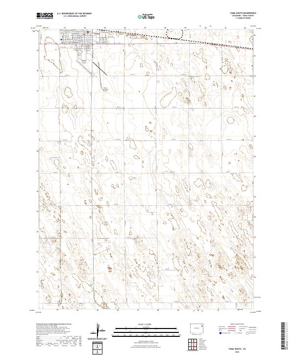
2022 Map of Yuma South
USGS Topo · Published 2022About this map
The southern expansion of Yuma anchors the northern boundary of this high-plains landscape, where the town's street grid transitions into a vast network of section roads. The map captures the organized layout of the community along thoroughfares like S Main St and S Albany St, while providing a clear view of the municipal infrastructure serving the region. Aviation history is particularly visible here, with both the Yuma Municipal Airport and the smaller Koenig Airport situated just outside the residential core.
Find a feature on this map
47 named features on this map. Tap any name to fly to it.
Don’t see what you’re looking for? This feature index may not catch every label — zoom into the map to look around manually.
Map Details
Editions of this 2022 Yuma South Map
This is the sole edition of this map. No revisions or reprints were ever made.
Other maps of this area

1954 · Limon
USGS Topo · 1:250,000

1954 · Sterling
USGS Topo · 1:250,000

1957 · Limon
USGS Topo · 1:250,000

1958 · Limon
USGS Topo · 1:250,000

1958 · Sterling
USGS Topo · 1:250,000

1969 · Heartstrong
USGS Topo · 1:24,000

1969 · Schramm
USGS Topo · 1:24,000

1971 · Yuma NE
USGS Topo · 1:24,000

1972 · Hyde
USGS Topo · 1:24,000

1972 · Otis SE
USGS Topo · 1:24,000