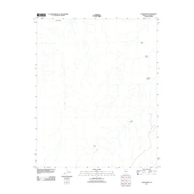
2011 Map of Yunosi Point
USGS Topo · Published 2011About this map
Bishop Camp serves as a lone human waypoint in this high-desert landscape within the Coconino County backcountry. The terrain is defined by dramatic geological formations, most notably the prominent Yunosi Point and the sharp profile of Flatiron Butte to the northwest. This 2011 survey reveals a complex drainage network where ephemeral water courses have carved deep paths, including Yunosi Canyon and Whiterock Canyon.
Find a feature on this map
10 named features on this map. Tap any name to fly to it.
Don’t see what you’re looking for? This feature index may not catch every label — zoom into the map to look around manually.
Map Details
Editions of this 2011 Yunosi Point Map
This is the sole edition of this map. No revisions or reprints were ever made.
Other maps of this area

1886 · Kaibab
USGS Topo · 1:250,000

1953 · Grand Canyon
USGS Topo · 1:250,000

1957 · Grand Canyon
USGS Topo · 1:250,000

1958 · Grand Canyon
USGS Topo · 1:250,000

1960 · Grand Canyon
USGS Topo · 1:250,000

1962 · Kanab Point
USGS Topo · 1:62,500

1962 · Tuckup Canyon
USGS Topo · 1:62,500

1962 · Supai
USGS Topo · 1:62,500

1962 · National Canyon
USGS Topo · 1:62,500

1984 · Grand Canyon
USGS Topo · 1:100,000