
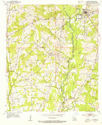
1954 Map of Zachary
USGS Topo · Published 1955About this map
Zachary and Slaughter serve as the primary hubs along the Illinois Central railroad corridor in this mid-century survey of the Louisiana landscape. The terrain is defined by a dense network of waterways including Bayou White, Black Bayou, and Cypress Bayou, which navigate the subtle elevations of the parish line between East Feliciana and East Baton Rouge Parish.
Find a feature on this map
33 named features on this map. Tap any name to fly to it.
Don’t see what you’re looking for? This feature index may not catch every label — zoom into the map to look around manually.
Map Details
Editions of this 1954 Zachary Map
This is the sole edition of this map. No revisions or reprints were ever made.
Other maps of this area

1906 · Bayou Sara
USGS Topo · 1:125,000

1939 · St. Francisville
USGS Topo · 1:62,500

1939 · Zachary
USGS Topo · 1:62,500

1945 · Jackson
USGS Topo · 1:31,680

1946 · Clinton
USGS Topo · 1:31,680

1953 · Comite
USGS Topo · 1:24,000

1954 · Port Hudson
USGS Topo · 1:24,000
1954 · Clinton
USGS Topo · 1:24,000

1954 · Walls
USGS Topo · 1:24,000

1954 · Elm Park
USGS Topo · 1:24,000