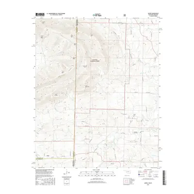
2016 Map of Zafra
USGS Topo · Published 2016About this map
Zafra sits at the southwestern edge of this survey, where the Oklahoma-Arkansas border divides the high peaks of the Ouachita National Forest. The landscape is dominated by a series of prominent ridges, including Cow Creek Mtn, Walnut Mtn, and the distinctive Turkey Snout Ridge, which direct the flow of numerous waterways like Beech Cr and Slate Cr. Historically significant sites are scattered among the timbered slopes, including the Stinett Cem and Gann Cem, located near the winding path of the Mountain Fork. The transition from the steep elevation of Polecat Peak to the more accessible valley near Mountain Fork Bridge reveals a rural infrastructure of forest roads and local lanes, such as Polk Road 48, that have long connected these isolated communities and family burial grounds in the borderlands.
Find a feature on this map
73 named features on this map. Tap any name to fly to it.
Don’t see what you’re looking for? This feature index may not catch every label — zoom into the map to look around manually.
Map Details
Editions of this 2016 Zafra Map
This is the sole edition of this map. No revisions or reprints were ever made.
Other maps of this area

1890 · Poteau Mountain
USGS Topo · 1:125,000

1899 · Poteau Mountain
USGS Topo · 1:125,000

1900 · Winding Stair
USGS Topo · 1:125,000

1902 · Lukfata
USGS Topo · 1:125,000

1909 · Winding Stair
USGS Topo · 1:125,000

1913 · De Queen
USGS Topo · 1:125,000

1950 · Mcalester
USGS Topo · 1:250,000

1958 · Potter
USGS Topo · 1:62,500

1958 · Zafra
USGS Topo · 1:24,000

1958 · Rich Mountain
USGS Topo · 1:24,000