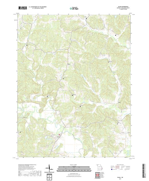
2021 Map of Zalma
USGS Topo · Published 2021About this map
The Upper Castor River snakes through the southern reaches of this landscape, defining the character of the riverfront community at Zalma. This terrain is deeply etched by a network of creeks and branches, including Clubb Cr, Hawker Cr, and Perkins Cr, which have historically shaped the settlement patterns of Bollinger County. The presence of numerous small family and community burial grounds, such as Patterson Cem and Crites Cem, suggests a long-established rural social structure where homesteads and churches served as the primary anchors for local life.
Find a feature on this map
65 named features on this map. Tap any name to fly to it.
Don’t see what you’re looking for? This feature index may not catch every label — zoom into the map to look around manually.
Map Details
Editions of this 2021 Zalma Map
This is the sole edition of this map. No revisions or reprints were ever made.
Other maps of this area

1933 · Marble Hill
USGS Topo · 1:62,500

1933 · Marquand
USGS Topo · 1:62,500

1934 · Advance
USGS Topo · 1:62,500

1935 · Zalma
USGS Topo · 1:62,500

1937 · Marble Hill
USGS Topo · 1:62,500

1938 · Marquand
USGS Topo · 1:62,500

1939 · Advance
USGS Topo · 1:62,500

1939 · Zalma
USGS Topo · 1:62,500

1949 · Paducah
USGS Topo · 1:250,000

1949 · Rolla
USGS Topo · 1:250,000