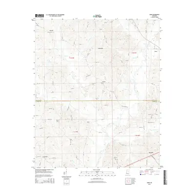
2015 Map of Zama
USGS Topo · Published 2015About this map
Lobutcha Creek and its many tributaries, including Bibalucta Cr and Peeler Br, define the drainage patterns across this section of the Mississippi piney woods. Small rural settlements like Patterson, Center, and Gray are situated along a network of county roads, such as Ridge Rd and Center Rd, which often follow the higher ground between creek valleys. This topography is particularly evident near the prominent elevation at Rocky Point.
Find a feature on this map
92 named features on this map. Tap any name to fly to it.
Don’t see what you’re looking for? This feature index may not catch every label — zoom into the map to look around manually.
Map Details
Editions of this 2015 Zama Map
This is the sole edition of this map. No revisions or reprints were ever made.
Other maps of this area

1953 · Meridian
USGS Topo · 1:250,000

1953 · West Point
USGS Topo · 1:250,000

1957 · Meridian
USGS Topo · 1:250,000

1958 · West Point
USGS Topo · 1:250,000

1962 · Edinburg
USGS Topo · 1:62,500

1962 · Thomastown
USGS Topo · 1:62,500

1963 · West Point
USGS Topo · 1:250,000

1964 · Kosciusko
USGS Topo · 1:24,000

1965 · Meridian
USGS Topo · 1:250,000

1966 · Kosciusko
USGS Topo · 1:62,500