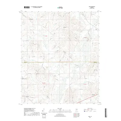
2018 Map of Zama
USGS Topo · Published 2018About this map
The boundary between Attala Co Leake Co splits this 2018 landscape, where numerous family and community cemeteries provide a detailed record of the area's social history. Established rural settlements like Smyrna, Patterson, and Zama are connected by a network of county roads, including the long-running Ridge RD and Old Center RD. The terrain is defined by the drainage systems of Lobutcha Creek and its many tributaries, such as Peeler Br and Bibulucta Cr. This modern survey documents the persistent rural character of central Mississippi, preserving the locations of legacy burial grounds like Shield Cem, Antioch Cem, and Rocky Point Cem. The presence of several historic paths, such as Old Edinburg RD, suggests older transportation patterns that linked these small communities before modern highway developments.
Find a feature on this map
95 named features on this map. Tap any name to fly to it.
Don’t see what you’re looking for? This feature index may not catch every label — zoom into the map to look around manually.
Map Details
Editions of this 2018 Zama Map
This is the sole edition of this map. No revisions or reprints were ever made.
Other maps of this area

1953 · Meridian
USGS Topo · 1:250,000

1953 · West Point
USGS Topo · 1:250,000

1957 · Meridian
USGS Topo · 1:250,000

1958 · West Point
USGS Topo · 1:250,000

1962 · Edinburg
USGS Topo · 1:62,500

1962 · Thomastown
USGS Topo · 1:62,500

1963 · West Point
USGS Topo · 1:250,000

1964 · Kosciusko
USGS Topo · 1:24,000

1965 · Meridian
USGS Topo · 1:250,000

1966 · Kosciusko
USGS Topo · 1:62,500