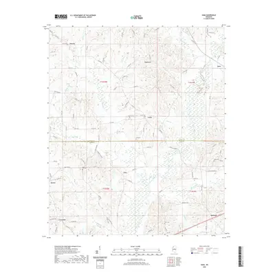
2020 Map of Zama
USGS Topo · Published 2020About this map
The Attala Co and Leake Co border divides this central Mississippi landscape, where small crossroads settlements define the social geography. Smyrna, Patterson, and Zama anchor the northern reaches of the quadrangle, while Gray and Marydell are situated further south. The terrain is defined by a dense network of tributaries including Lobutcha Creek, Pailey Cr, and Chestnut Cr, which carve through the wooded hills. For local historians and genealogists, the map is remarkably dense with burial sites, showing Antioch Cem, Shield Cem, and Rocky Point Cem, among others, often located near the small community centers. These points of interest are connected by an intricate web of rural routes like Ridge RD and Old Center RD, reflecting a long-standing settlement pattern that persists even into this modern survey.
Find a feature on this map
97 named features on this map. Tap any name to fly to it.
Don’t see what you’re looking for? This feature index may not catch every label — zoom into the map to look around manually.
Map Details
Editions of this 2020 Zama Map
This is the sole edition of this map. No revisions or reprints were ever made.
Other maps of this area

1953 · Meridian
USGS Topo · 1:250,000

1953 · West Point
USGS Topo · 1:250,000

1957 · Meridian
USGS Topo · 1:250,000

1958 · West Point
USGS Topo · 1:250,000

1962 · Edinburg
USGS Topo · 1:62,500

1962 · Thomastown
USGS Topo · 1:62,500

1963 · West Point
USGS Topo · 1:250,000

1964 · Kosciusko
USGS Topo · 1:24,000

1965 · Meridian
USGS Topo · 1:250,000

1966 · Kosciusko
USGS Topo · 1:62,500