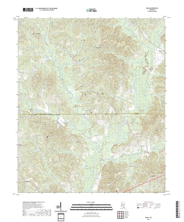
2024 Map of Zama
USGS Topo · Published 2024About this map
The county line between Attala Co and Leake Co bisects this rural landscape, which is defined by a dense network of watercourses and small family settlements. Central to the map is the community of Center, where the Center Cem and Patterson Cem stand near the headwaters of Peeler Branch. The terrain is deeply etched by numerous creeks, including Lobucha Creek, Cypress Creek, and Kenty Creek, illustrating a classic Mississippi drainage pattern that dictated historical road placement and land use.
Find a feature on this map
94 named features on this map. Tap any name to fly to it.
Don’t see what you’re looking for? This feature index may not catch every label — zoom into the map to look around manually.
Map Details
Editions of this 2024 Zama Map
This is the sole edition of this map. No revisions or reprints were ever made.
Other maps of this area

1953 · Meridian
USGS Topo · 1:250,000

1953 · West Point
USGS Topo · 1:250,000

1957 · Meridian
USGS Topo · 1:250,000

1958 · West Point
USGS Topo · 1:250,000

1962 · Edinburg
USGS Topo · 1:62,500

1962 · Thomastown
USGS Topo · 1:62,500

1963 · West Point
USGS Topo · 1:250,000

1964 · Kosciusko
USGS Topo · 1:24,000

1965 · Meridian
USGS Topo · 1:250,000

1966 · Kosciusko
USGS Topo · 1:62,500