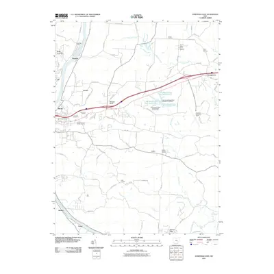
2010 Map of Zanesville East
USGS Topo · Published 2010About this map
The Muskingum River corridor shapes the western edge of this Muskingum County landscape, where transportation and topography intersect just east of the city. Industrial and aviation history are evident at Riverside Airport and the Zanesville Municipal Airport, while small settlements like Pleasant Grove and Wortley are established along the rising terrain between river valleys. The map documents significant land features such as the C M Luburgh Estate Pond Number 9717 and its associated dams, signaling modern land management and private estate development.
Find a feature on this map
84 named features on this map. Tap any name to fly to it.
Don’t see what you’re looking for? This feature index may not catch every label — zoom into the map to look around manually.
Map Details
Editions of this 2010 Zanesville East Map
This is the sole edition of this map. No revisions or reprints were ever made.
Other maps of this area

1908 · Conesville
USGS Topo · 1:62,500

1910 · Frazeysburg
USGS Topo · 1:62,500

1910 · Philo
USGS Topo · 1:62,500

1910 · Zanesville
USGS Topo · 1:62,500

1910 · Conesville
USGS Topo · 1:62,500

1947 · Columbus
USGS Topo · 1:250,000

1949 · Clarksburg
USGS Topo · 1:250,000

1950 · Marion
USGS Topo · 1:250,000

1951 · Canton
USGS Topo · 1:250,000

1953 · Canton
USGS Topo · 1:250,000