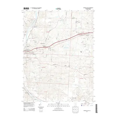
2013 Map of Zanesville East
USGS Topo · Published 2013About this map
The Muskingum River flows along the western edge of this territory, where the eastern reaches of Zanesville give way to a network of established settlements and cemeteries. Moving east from the city, the landscape is defined by the transition from urban neighborhoods like Mill Run and Wortley to smaller rural communities such as Pleasant Grove and Sonora. This 2013 survey provides a detailed view of local aviation and heritage, featuring both Riverside Airport and Zanesville Municipal Airport alongside numerous traditional burial grounds. Genealogists will find a high concentration of sites including Old Saint Nicholas Catholic Cem, Fairview Methodist Cem, and Saint Pauls Cem. In the southern half of the map, the terrain shifts toward more open land around Griffin and Duncan Falls, drained by Boggs Cr and Indian Run.
Find a feature on this map
122 named features on this map. Tap any name to fly to it.
Don’t see what you’re looking for? This feature index may not catch every label — zoom into the map to look around manually.
Map Details
Editions of this 2013 Zanesville East Map
This is the sole edition of this map. No revisions or reprints were ever made.
Other maps of this area

1908 · Conesville
USGS Topo · 1:62,500

1910 · Frazeysburg
USGS Topo · 1:62,500

1910 · Philo
USGS Topo · 1:62,500

1910 · Zanesville
USGS Topo · 1:62,500

1910 · Conesville
USGS Topo · 1:62,500

1947 · Columbus
USGS Topo · 1:250,000

1949 · Clarksburg
USGS Topo · 1:250,000

1950 · Marion
USGS Topo · 1:250,000

1951 · Canton
USGS Topo · 1:250,000

1953 · Canton
USGS Topo · 1:250,000