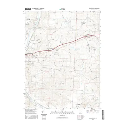
2016 Map of Zanesville East
USGS Topo · Published 2016About this map
The Muskingum River flows along the western edge of this landscape, anchoring a series of riverfront communities including Riverview, Buckeye, and Frazier. Moving east from the river, the terrain transitions into a network of creek valleys defined by Little Salt Cr, Boggs Cr, and Salt Creek. The urban footprint of Zanesville dominates the west-central portion of the map, where a high concentration of established burial grounds like Greenwood Cem and Saint Thomas Cem provide a dense record for genealogical research.
Find a feature on this map
69 named features on this map. Tap any name to fly to it.
Don’t see what you’re looking for? This feature index may not catch every label — zoom into the map to look around manually.
Map Details
Editions of this 2016 Zanesville East Map
This is the sole edition of this map. No revisions or reprints were ever made.
Other maps of this area

1908 · Conesville
USGS Topo · 1:62,500

1910 · Frazeysburg
USGS Topo · 1:62,500

1910 · Philo
USGS Topo · 1:62,500

1910 · Zanesville
USGS Topo · 1:62,500

1910 · Conesville
USGS Topo · 1:62,500

1947 · Columbus
USGS Topo · 1:250,000

1949 · Clarksburg
USGS Topo · 1:250,000

1950 · Marion
USGS Topo · 1:250,000

1951 · Canton
USGS Topo · 1:250,000

1953 · Canton
USGS Topo · 1:250,000