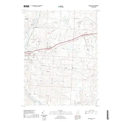
2019 Map of Zanesville East
USGS Topo · Published 2019About this map
The Muskingum River dominates the western and southern reaches of this landscape, tracing a winding path past the settlements of North Zanesville, Riverview, and Frazier. This 2019 survey illustrates the dense concentration of civic and religious history in the Zanesville area, particularly through its numerous well-established burial grounds. From the central Greenwood Cem and Mount Olive Cem to the denominational plots of Old Saint Nicholas Catholic Cem and Saint Thomas Cem, the map serves as a detailed guide for genealogical research.
Find a feature on this map
142 named features on this map. Tap any name to fly to it.
Don’t see what you’re looking for? This feature index may not catch every label — zoom into the map to look around manually.
Map Details
Editions of this 2019 Zanesville East Map
This is the sole edition of this map. No revisions or reprints were ever made.
Other maps of this area

1908 · Conesville
USGS Topo · 1:62,500

1910 · Frazeysburg
USGS Topo · 1:62,500

1910 · Philo
USGS Topo · 1:62,500

1910 · Zanesville
USGS Topo · 1:62,500

1910 · Conesville
USGS Topo · 1:62,500

1947 · Columbus
USGS Topo · 1:250,000

1949 · Clarksburg
USGS Topo · 1:250,000

1950 · Marion
USGS Topo · 1:250,000

1951 · Canton
USGS Topo · 1:250,000

1953 · Canton
USGS Topo · 1:250,000