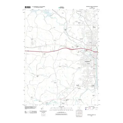
2010 Map of Zanesville West
USGS Topo · Published 2010About this map
The Licking River and Muskingum River converge at the heart of Zanesville, a city defined by its historic bridges and complex river geography. The famous Y Bridge serves as a central landmark where the rivers meet, while the Medal of Honor Winners Bridge spans the Muskingum further south. This 2010 survey illustrates the city’s expansion into surrounding neighborhoods like North Zanesville, West Zanesville, and South Zanesville, contrasted by the managed waters of Dillon Lake and the Dillon Dam to the northwest. Local institutions and burial grounds are well-documented, from the Ohio University at Zanesville campus to numerous local sites of interest for genealogists, including the United Jewish Cemetery, Mount Calvary Cemetery, and Woodlawn Cemetery. The topography transitions from the river valleys to high points like Putnam Hill and Moxahala Ridge, with recreational spaces such as Moxahala Park anchoring the southern corridor.
Find a feature on this map
105 named features on this map. Tap any name to fly to it.
Don’t see what you’re looking for? This feature index may not catch every label — zoom into the map to look around manually.
Map Details
Editions of this 2010 Zanesville West Map
This is the sole edition of this map. No revisions or reprints were ever made.
Other maps of this area

1908 · Conesville
USGS Topo · 1:62,500

1910 · Frazeysburg
USGS Topo · 1:62,500

1910 · Philo
USGS Topo · 1:62,500

1910 · Zanesville
USGS Topo · 1:62,500

1910 · Conesville
USGS Topo · 1:62,500

1947 · Columbus
USGS Topo · 1:250,000

1949 · Clarksburg
USGS Topo · 1:250,000

1950 · Marion
USGS Topo · 1:250,000

1951 · Canton
USGS Topo · 1:250,000

1953 · Canton
USGS Topo · 1:250,000