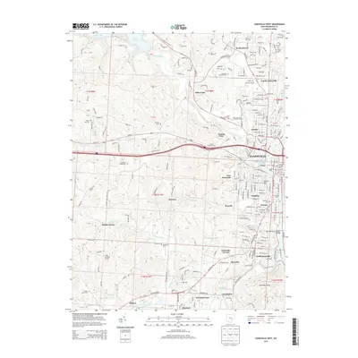
2013 Map of Zanesville West
USGS Topo · Published 2013About this map
The Licking River and Muskingum River Lock and Dam Number 10 anchor this detailed look at the Zanesville area, where the river-defined landscape meets growing residential neighborhoods. Numerous family and community burial grounds, such as Springfield Chapel Cem and McKendree Cem, dot the western hills, providing a clear spatial record for genealogy and local history research. The elevation of Putnam Hill and Nob Hill overlooks the dense street grids of Zanesville, Putnam, and Brighton, while suburban expansions reach toward Meadowbrook and North Zanesville. Education and transit play a central role in the landscape, visible through the Zane State Coll campus and the small Johns Landing Airport near the Thompson Run drainage. This survey also records the industrial and recreational reach of the waterways, from Dillon Lake in the northwest to the winding Moxahala Creek in the south.
Find a feature on this map
68 named features on this map. Tap any name to fly to it.
Don’t see what you’re looking for? This feature index may not catch every label — zoom into the map to look around manually.
Map Details
Editions of this 2013 Zanesville West Map
This is the sole edition of this map. No revisions or reprints were ever made.
Other maps of this area

1908 · Conesville
USGS Topo · 1:62,500

1910 · Frazeysburg
USGS Topo · 1:62,500

1910 · Philo
USGS Topo · 1:62,500

1910 · Zanesville
USGS Topo · 1:62,500

1910 · Conesville
USGS Topo · 1:62,500

1947 · Columbus
USGS Topo · 1:250,000

1949 · Clarksburg
USGS Topo · 1:250,000

1950 · Marion
USGS Topo · 1:250,000

1951 · Canton
USGS Topo · 1:250,000

1953 · Canton
USGS Topo · 1:250,000