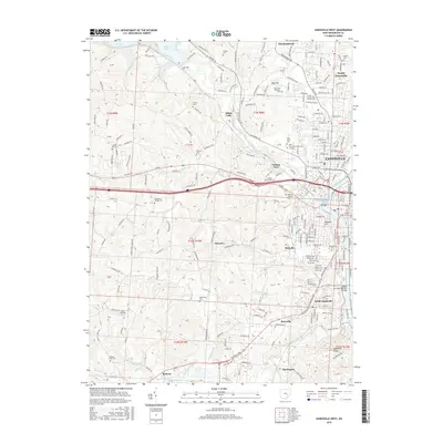
2016 Map of Zanesville West
USGS Topo · Published 2016About this map
The confluence of the Licking River and Muskingum River dominates this mid-2010s landscape, centered on the city of Zanesville. This specific junction is home to the famous Y-Bridge, a rare three-way structural feat that connects the downtown core to western neighborhoods. The map details the suburban and educational development north of the city, featuring the Ohio University-Zanesville Campus and Zane State College alongside the residential expanses of North Zanesville and Meadowbrook.
Find a feature on this map
221 named features on this map. Tap any name to fly to it.
Don’t see what you’re looking for? This feature index may not catch every label — zoom into the map to look around manually.
Map Details
Editions of this 2016 Zanesville West Map
This is the sole edition of this map. No revisions or reprints were ever made.
Other maps of this area

1908 · Conesville
USGS Topo · 1:62,500

1910 · Frazeysburg
USGS Topo · 1:62,500

1910 · Philo
USGS Topo · 1:62,500

1910 · Zanesville
USGS Topo · 1:62,500

1910 · Conesville
USGS Topo · 1:62,500

1947 · Columbus
USGS Topo · 1:250,000

1949 · Clarksburg
USGS Topo · 1:250,000

1950 · Marion
USGS Topo · 1:250,000

1951 · Canton
USGS Topo · 1:250,000

1953 · Canton
USGS Topo · 1:250,000