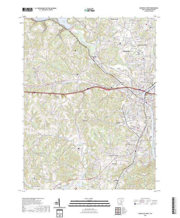
2023 Map of Zanesville West
USGS Topo · Published 2023About this map
The Licking River and Muskingum River converge at the heart of Zanesville, a historic river city defined by its industrial valley and institutional hubs. This modern mapping details the urban expansion from the Muskingum County Courthouse outward to the campuses of Zane State College and Ohio University - Zanesville. The terrain transitions from the riverfront flats of South Zanesville to the prominent elevations of Putnam Hill and Moxahala Ridge. Outside the core city, the landscape is dotted with ancestral markers, including Springfield Chapel Cem and Wesley Union Cem. To the northwest, the controlled waters of Dillon Lake and the settlement at Dillon Falls reflect the long-standing management of the Licking River watershed, while smaller hamlets like Darlington and Fairview maintain their distinct positions along the outlying hills.
Find a feature on this map
101 named features on this map. Tap any name to fly to it.
Don’t see what you’re looking for? This feature index may not catch every label — zoom into the map to look around manually.
Map Details
Editions of this 2023 Zanesville West Map
This is the sole edition of this map. No revisions or reprints were ever made.
Other maps of this area

1908 · Conesville
USGS Topo · 1:62,500

1910 · Frazeysburg
USGS Topo · 1:62,500

1910 · Philo
USGS Topo · 1:62,500

1910 · Zanesville
USGS Topo · 1:62,500

1910 · Conesville
USGS Topo · 1:62,500

1947 · Columbus
USGS Topo · 1:250,000

1949 · Clarksburg
USGS Topo · 1:250,000

1950 · Marion
USGS Topo · 1:250,000

1951 · Canton
USGS Topo · 1:250,000

1953 · Canton
USGS Topo · 1:250,000