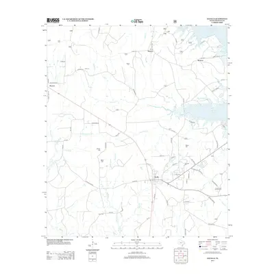
2013 Map of Zavalla
USGS Topo · Published 2013About this map
Zavalla serves as the central hub for this portion of Angelina County, positioned at the intersection of several key routes including State Highway 63. The landscape is characterized by its proximity to the Sam Rayburn Reservoir, which shapes the northeastern and eastern boundaries of the area. This modern survey illustrates the development of the timber-rich region, anchored by the Zavalla Forest Service Facility and a network of Forest Service roads that penetrate the surrounding woodlands.
Find a feature on this map
89 named features on this map. Tap any name to fly to it.
Don’t see what you’re looking for? This feature index may not catch every label — zoom into the map to look around manually.
Map Details
Editions of this 2013 Zavalla Map
This is the sole edition of this map. No revisions or reprints were ever made.
Other maps of this area

1928 · Zavalla 3-c
USGS Topo · 1:24,000

1928 · Lufkin 4-d
USGS Topo · 1:24,000

1931 · Zavalla
USGS Topo · 1:62,500

1932 · Manning
USGS Topo · 1:62,500

1949 · Lufkin
USGS Topo · 1:62,500

1949 · Huntington
USGS Topo · 1:24,000

1950 · Huntington
USGS Topo · 1:24,000

1953 · Palestine
USGS Topo · 1:250,000

1957 · Palestine
USGS Topo · 1:250,000

1958 · Zavalla
USGS Topo · 1:62,500