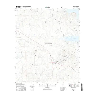
2016 Map of Zavalla
USGS Topo · Published 2016About this map
Angelina National Forest dominates this East Texas landscape, preserving a detailed view of the terrain surrounding Zavalla. The map provides a high-resolution look at the complex hydrological network feeding into the Sam Rayburn Reservoir, including numerous named drainages like Pophers Cr and Hawkins Cr. This 2016 survey is particularly valuable for genealogical research, as it meticulously identifies multiple family-named burial sites such as Townsend Cem, Ozias Cem, McNiel Cem, and Poland Cem.
Find a feature on this map
60 named features on this map. Tap any name to fly to it.
Don’t see what you’re looking for? This feature index may not catch every label — zoom into the map to look around manually.
Map Details
Editions of this 2016 Zavalla Map
This is the sole edition of this map. No revisions or reprints were ever made.
Other maps of this area

1928 · Zavalla 3-c
USGS Topo · 1:24,000

1928 · Lufkin 4-d
USGS Topo · 1:24,000

1931 · Zavalla
USGS Topo · 1:62,500

1932 · Manning
USGS Topo · 1:62,500

1949 · Lufkin
USGS Topo · 1:62,500

1949 · Huntington
USGS Topo · 1:24,000

1950 · Huntington
USGS Topo · 1:24,000

1953 · Palestine
USGS Topo · 1:250,000

1957 · Palestine
USGS Topo · 1:250,000

1958 · Zavalla
USGS Topo · 1:62,500