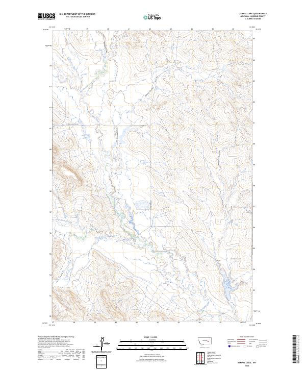
2024 Map of Zempel Lake
USGS Topo · Published 2024About this map
Big Porcupine Creek winds through this portion of Rosebud County, Montana, serving as the primary drainage for a landscape defined by seasonal watercourses and coulees. The map illustrates a ranching-focused rural geography where movement is dictated by the terrain, with roads like Ferguson Ranch Ln and Big Porcupine Rd providing access across the township boundaries of t10n r37e and t9n r37e. The drainage network is particularly dense, featuring the confluence of West Blacktail Creek and East Blacktail Creek as they join the larger system. Significant landforms include several named coulees such as Badland Coulee, Nelson Coulee, and Sun Coulee, which represent the erosional patterns characteristic of this part of the state. This 2024 USGS survey provides a detailed record of the local hydrography and contemporary land use in a region where cattle ranching remains a central part of the rural economy.
Find a feature on this map
13 named features on this map. Tap any name to fly to it.
Don’t see what you’re looking for? This feature index may not catch every label — zoom into the map to look around manually.
Map Details
Editions of this 2024 Zempel Lake Map
This is the sole edition of this map. No revisions or reprints were ever made.
Other maps of this area

1954 · Forsyth
USGS Topo · 1:250,000

1957 · Forsyth
USGS Topo · 1:250,000

1958 · Forsyth
USGS Topo · 1:250,000

1960 · Hagen Ranch
USGS Topo · 1:24,000

1960 · Vananda
USGS Topo · 1:24,000

1960 · Ahles
USGS Topo · 1:24,000

1960 · Thebes
USGS Topo · 1:24,000

1960 · Brown Coulee
USGS Topo · 1:24,000

1960 · Zempel Lake
USGS Topo · 1:24,000

1968 · Donleys Reservoir
USGS Topo · 1:24,000