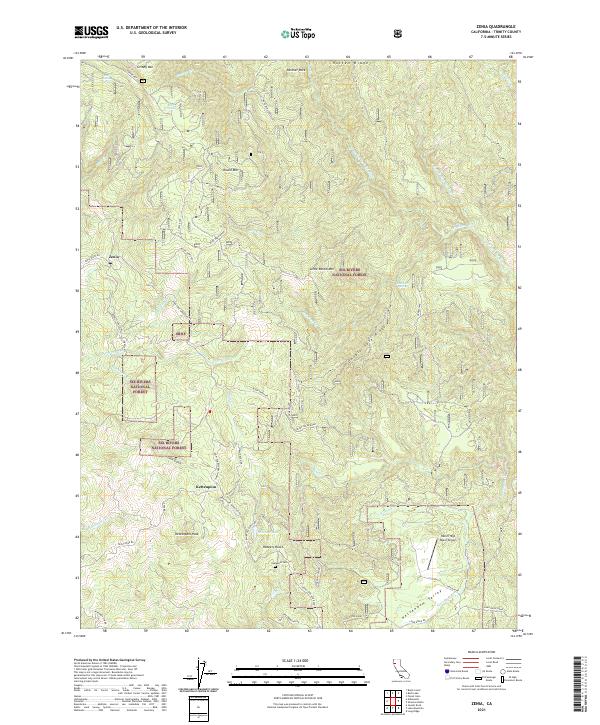
2021 Map of Zenia
USGS Topo · Published 2021About this map
Kettenpom and the small settlement of Zenia anchor this portion of Trinity County, where the landscape is defined by the steep drainage basins of the Eel Wild and Scenic River and its various forks. The map details a complex network of forest routes, including the Ruth Zenia Rd and Zenia Lake Mountain Rd, which navigate the high ridges. Significant landmarks such as Kettenpom Peak and Double Gate Ridge overlook the area, while smaller features like the Hyampom Cemetery and Robbers Roost provide points of interest for local history and genealogy. The presence of the Heller High Water Airport in the south near the Kettenpom Valley suggests the importance of air access in this isolated terrain, which is largely encompassed by the Six Rivers National Forest. Small mountain water sources, such as Bear Wallow Spring and Bollman Lake, are also documented.
Find a feature on this map
64 named features on this map. Tap any name to fly to it.
Don’t see what you’re looking for? This feature index may not catch every label — zoom into the map to look around manually.
Map Details
Editions of this 2021 Zenia Map
This is the sole edition of this map. No revisions or reprints were ever made.
Other maps of this area

1918 · Anada
USGS Topo · 1:62,500

1920 · Harris
USGS Topo · 1:62,500

1921 · Hoaglin
USGS Topo · 1:62,500

1922 · Island Mountain
USGS Topo · 1:62,500

1931 · Hoaglin
USGS Topo · 1:96,000

1935 · Hoaglin
USGS Topo · 1:125,000

1949 · Blocksburg
USGS Topo · 1:62,500

1949 · Alderpoint
USGS Topo · 1:62,500

1951 · Alderpoint
USGS Topo · 1:62,500

1951 · Blocksburg
USGS Topo · 1:62,500