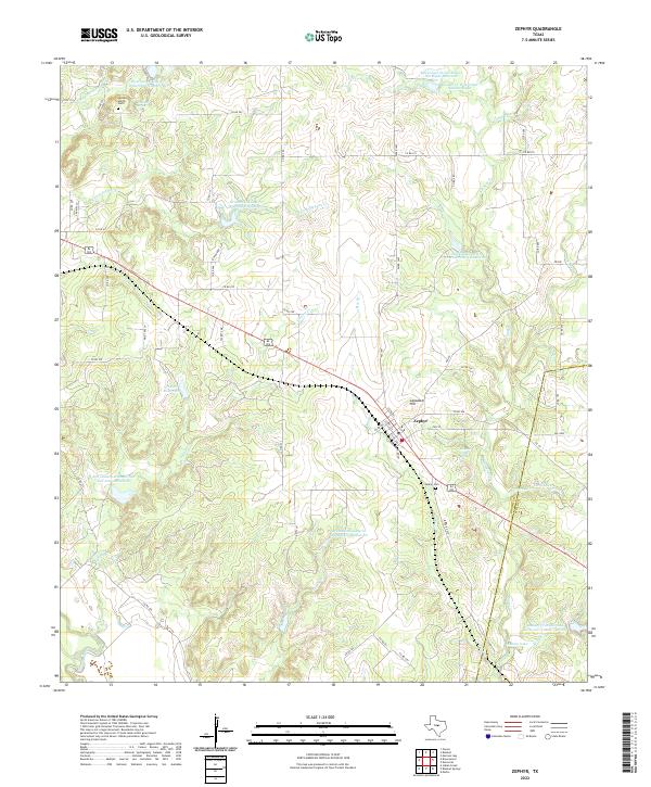
2022 Map of Zephyr
USGS Topo · Published 2022About this map
The town of Zephyr sits at a geographic crossroads in eastern Brown County, defined by the convergence of major ranch-to-market roads and the undulating watershed of Blanket Creek. This 2022 survey details a landscape where water management is central to the local economy, evidenced by numerous Soil Conservation Service reservoirs and named water control projects like the Brownwood Lateral Watershed Number 20. For those tracing family histories, the map identifies the Zephyr Cem and the more remote Jenkins Spring Cem near the headwaters of the N Fork Steppes Cr. The terrain rises toward Lancaster Hill, overlooking a network of seasonal drainages including Bee Br and Groves Br. These features, along with landmarks like Blanket Creek Spring and Taylor Reservoir, illustrate the persistent reliance on water resources in this part of the Texas Hill Country transition.
Find a feature on this map
67 named features on this map. Tap any name to fly to it.
Don’t see what you’re looking for? This feature index may not catch every label — zoom into the map to look around manually.
Map Details
Editions of this 2022 Zephyr Map
This is the sole edition of this map. No revisions or reprints were ever made.
Other maps of this area

1889 · Brownwood
USGS Topo · 1:125,000

1894 · Brownwood
USGS Topo · 1:125,000

1925 · Brownwood 3-b
USGS Topo · 1:48,000

1925 · Brownwood 3-d
USGS Topo · 1:48,000

1925 · Brownwood 4-c
USGS Topo · 1:48,000

1928 · Zephyr
USGS Topo · 1:62,500

1931 · Mullin
USGS Topo · 1:62,500

1950 · Zephyr
USGS Topo · 1:62,500

1950 · Mullin
USGS Topo · 1:62,500

1954 · Brownwood
USGS Topo · 1:250,000