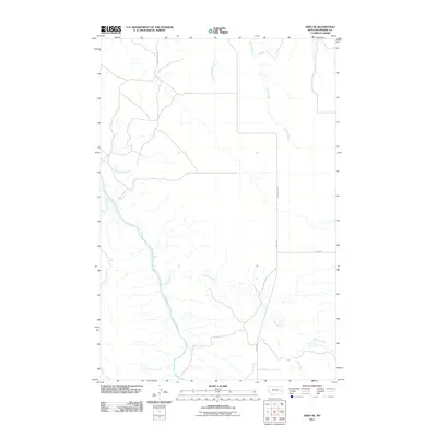
2011 Map of Zero NE
USGS Topo · Published 2011About this map
The Powder River meanders through this section of eastern Montana, shaping a landscape defined by its complex drainage network. Tributaries like Tenmile Creek and Mcquiod Creek feed into the main river channel, while the northern reaches are dominated by the Spring Creek system, including its West Fork. This 2011 survey captures the rural infrastructure of Prairie County, where long-established routes such as Terry-Locate Rd and Mispah Rd traverse the high ground between the coulees and creek beds. The mapping of Flat Top Rd and Conns Coulee Rd illustrates the grid of access points necessary for managing this expansive river-bottom and ranching country, showing how the local topography dictates the placement of roads in relation to water features like Flat Creek.
Find a feature on this map
10 named features on this map. Tap any name to fly to it.
Don’t see what you’re looking for? This feature index may not catch every label — zoom into the map to look around manually.
Map Details
Editions of this 2011 Zero NE Map
This is the sole edition of this map. No revisions or reprints were ever made.
Other maps of this area

1953 · Miles City
USGS Topo · 1:250,000

1957 · Miles City
USGS Topo · 1:250,000

1958 · Miles City
USGS Topo · 1:250,000

1969 · Corral Butte
USGS Topo · 1:24,000

1969 · Spring Draw
USGS Topo · 1:24,000

1969 · Zero NE
USGS Topo · 1:24,000

1969 · Zero
USGS Topo · 1:24,000

1969 · Flat Top Butte SW
USGS Topo · 1:24,000

1969 · Flat Top Butte
USGS Topo · 1:24,000

1972 · Calypso
USGS Topo · 1:24,000