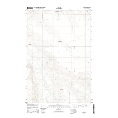
2014 Map of Zero NE
USGS Topo · Published 2014About this map
The Powder River carves a deep path through this portion of Prairie County, Montana, defining the local geography with its winding southern course. This 2014 survey documents a sparsely settled landscape where water management and road access are central to the region's character. Significant drainages such as Tenmile Cr and Spring Cr feed into the larger river system, while specialized routes like Ash Creek Rd and Ten Mile Rd provide the primary infrastructure for navigating the high plains. The map illustrates a network of coulees and creeks, including Conns Coulee and McQuiod Cr, which serve as vital landmarks in a terrain characterized by intermittent water sources and wide-open rangeland. The presence of Flat Top Rd suggests the topographical prominence of the surrounding plateaus, while the inclusion of the W Fork Spring Cr highlights the intricate branching of the local watershed.
Find a feature on this map
16 named features on this map. Tap any name to fly to it.
Don’t see what you’re looking for? This feature index may not catch every label — zoom into the map to look around manually.
Map Details
Editions of this 2014 Zero NE Map
This is the sole edition of this map. No revisions or reprints were ever made.
Other maps of this area

1953 · Miles City
USGS Topo · 1:250,000

1957 · Miles City
USGS Topo · 1:250,000

1958 · Miles City
USGS Topo · 1:250,000

1969 · Corral Butte
USGS Topo · 1:24,000

1969 · Spring Draw
USGS Topo · 1:24,000

1969 · Zero NE
USGS Topo · 1:24,000

1969 · Zero
USGS Topo · 1:24,000

1969 · Flat Top Butte SW
USGS Topo · 1:24,000

1969 · Flat Top Butte
USGS Topo · 1:24,000

1972 · Calypso
USGS Topo · 1:24,000