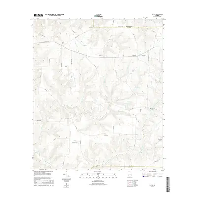
2017 Map of Zetto
USGS Topo · Published 2017About this map
Bluffton and the surrounding rural landscape of Clay County are defined by a network of creeks and small settlements in this 21st-century topographic survey. The area's agricultural and social history is anchored by several long-established burial sites, including Judson Cem to the north and Bryant-Neves Cem further south. These family and community landmarks, along with Wesley Cem and Mount Zion Cem, provide critical geographic points for genealogical research in this part of Georgia.
Find a feature on this map
57 named features on this map. Tap any name to fly to it.
Don’t see what you’re looking for? This feature index may not catch every label — zoom into the map to look around manually.
Map Details
Editions of this 2017 Zetto Map
This is the sole edition of this map. No revisions or reprints were ever made.
Other maps of this area

1953 · Dothan
USGS Topo · 1:250,000

1954 · Dothan
USGS Topo · 1:250,000

1955 · Dothan
USGS Topo · 1:250,000

1969 · Fort Gaines
USGS Topo · 1:24,000

1969 · Fort Gaines NE
USGS Topo · 1:24,000

1970 · Columbia NE
USGS Topo · 1:24,000
1973 · Coleman
USGS Topo · 1:24,000

1973 · Blakely North
USGS Topo · 1:24,000

1973 · Bancroft
USGS Topo · 1:24,000
1973 · Carnegie
USGS Topo · 1:24,000