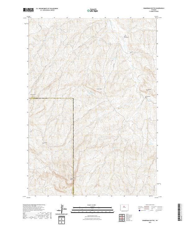
2021 Map of Zimmerman Buttes
USGS Topo · Published 2021About this map
Zimmerman Buttes rise prominently along the border of Washakie and Hot Springs counties, defining a landscape of high-desert drainage patterns and critical water management. This recent survey illustrates a network of remote catchments such as William Reservoir, Election Reservoir, and Pixley Reservoir, which support life in an arid environment dominated by ephemeral watercourses. Long-established ranching and resource access are reflected in the paths of Neiber Rd and Potter Rd, which navigate the complex topography of Zimmerman Draw and Little Sand Draw. Geologic landmarks like Potter Butte and Rocky Point serve as navigational anchors in this sparsely populated territory, where Zimmerman Springs remains a vital natural feature.
Find a feature on this map
21 named features on this map. Tap any name to fly to it.
Don’t see what you’re looking for? This feature index may not catch every label — zoom into the map to look around manually.
Map Details
Editions of this 2021 Zimmerman Buttes Map
This is the sole edition of this map. No revisions or reprints were ever made.
Other maps of this area

1945 · Kirby
USGS Topo · 1:62,500

1946 · Kirby
USGS Topo · 1:62,500

1955 · Thermopolis
USGS Topo · 1:250,000

1955 · Arminto
USGS Topo · 1:250,000

1958 · Thermopolis
USGS Topo · 1:250,000

1958 · Arminto
USGS Topo · 1:250,000

1960 · Coyote Hill
USGS Topo · 1:24,000

1960 · Packsaddle Creek
USGS Topo · 1:24,000

1960 · Red Hole
USGS Topo · 1:24,000

1962 · Thermopolis
USGS Topo · 1:250,000