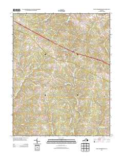
2013 Map of Zion Crossroads
USGS Topo · Published 2013About this map
Zion Crossroads serves as a central junction on this 2013 topographic survey, marking a point where interstate and local commerce meet in Louisa County. The landscape is defined by its transition from more developed residential corridors, such as those along Spring Creek Pkwy and Timber Ridge Ter, to the more rural, stream-dissected terrain of central Virginia. Small historical hubs like Bybee, Hunters, and Troy dot the Western and Central portions of the map, while Kents Store anchors the southeastern corner near the Venable Cr. The drainage patterns are intricate, with several branches including Ballinger Cr and Middle Fork E Fork Kent Br feeding into larger systems, occasionally pooling into man-made bodies of water like Cosner Lake and Linton Lake. Local history is preserved in naming conventions for family roads like Morris Rd and Poindexter Rd.
Find a feature on this map
97 named features on this map. Tap any name to fly to it.
Don’t see what you’re looking for? This feature index may not catch every label — zoom into the map to look around manually.
Map Details
Editions of this 2013 Zion Crossroads Map
This is the sole edition of this map. No revisions or reprints were ever made.
Other maps of this area

1891 · Palmyra
USGS Topo · 1:125,000

1892 · Gordonsville
USGS Topo · 1:125,000

1895 · Palmyra
USGS Topo · 1:125,000

1897 · Palmyra
USGS Topo · 1:125,000

1935 · Charlottesville
USGS Topo · 1:62,500

1939 · Charlottesville
USGS Topo · 1:62,500

1943 · Scottsville
USGS Topo · 1:62,500

1946 · Scottsville
USGS Topo · 1:62,500

1947 · Roanoke
USGS Topo · 1:250,000

1949 · Charlottesville
USGS Topo · 1:250,000