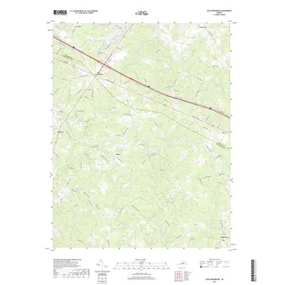
2019 Map of Zion Crossroads
USGS Topo · Published 2019About this map
Zion Crossroads serves as a modern commercial hub where the borders of Louisa County and Fluvanna County meet in central Virginia. This landscape reflects a mix of growing residential developments and traditional rural settlements, with older communities like Bybee and Poindexter scattered across the wooded terrain. The drainage patterns of the Piedmont are clearly visible, with the headwaters of Fosters Cr and the various branches of Kent Br, including Middle Fork Kent Br and E Fork Kent Br, cutting through the hills toward the south.
Find a feature on this map
101 named features on this map. Tap any name to fly to it.
Don’t see what you’re looking for? This feature index may not catch every label — zoom into the map to look around manually.
Map Details
Editions of this 2019 Zion Crossroads Map
This is the sole edition of this map. No revisions or reprints were ever made.
Other maps of this area

1891 · Palmyra
USGS Topo · 1:125,000

1892 · Gordonsville
USGS Topo · 1:125,000

1895 · Palmyra
USGS Topo · 1:125,000

1897 · Palmyra
USGS Topo · 1:125,000

1935 · Charlottesville
USGS Topo · 1:62,500

1939 · Charlottesville
USGS Topo · 1:62,500

1943 · Scottsville
USGS Topo · 1:62,500

1946 · Scottsville
USGS Topo · 1:62,500

1947 · Roanoke
USGS Topo · 1:250,000

1949 · Charlottesville
USGS Topo · 1:250,000