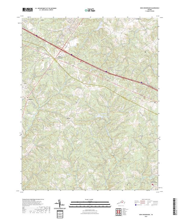
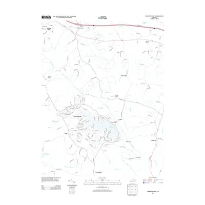
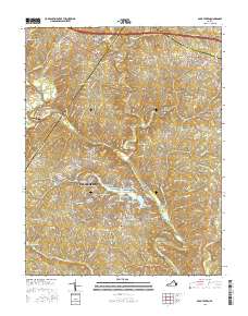
2022 Map of Zion Crossroads
USGS Topo · Published 2022About this map
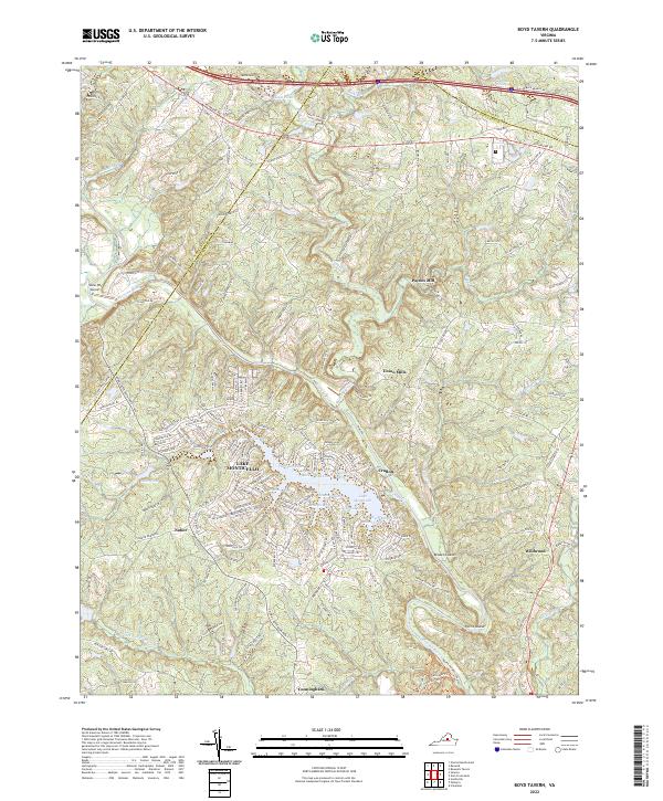
Zion Crossroads serves as a central hub where the modern corridors of commerce meet the older rural foundations of both Louisa and Fluvanna counties. This landscape is defined by its transit history, anchored by the long-standing Three Notch Road and the intersection at Zion. To the south, the terrain becomes increasingly residential and agricultural, dotted with family-named settlements such as Bybee, Hunters, and Kents Store.
Find a feature on this map
108 named features on this map. Tap any name to fly to it.
Don’t see what you’re looking for? This feature index may not catch every label — zoom into the map to look around manually.
Map Details
Editions of this 2022 Zion Crossroads Map
This is the sole edition of this map. No revisions or reprints were ever made.
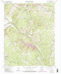
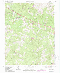
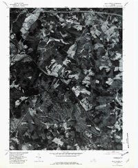
Historical Maps of Zion Through Time
13 maps found
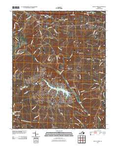
1967 Boyd Tavern
Fluvanna County, VA
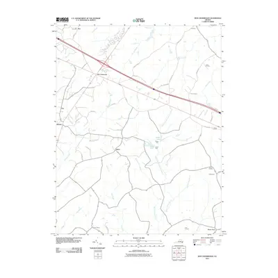
1970 Zion Crossroads
Fluvanna County, VA
1979 Boyd Tavern
Fluvanna County, VA
2010 Boyd Tavern
Fluvanna County, VA
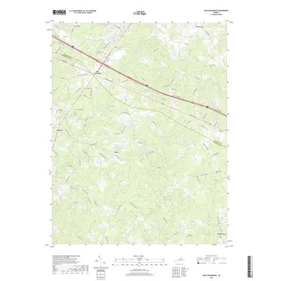
2010 Zion Crossroads
Fluvanna County, VA
2013 Boyd Tavern
Fluvanna County, VA
2013 Zion Crossroads
Fluvanna County, VA
2016 Boyd Tavern
Fluvanna County, VA
2016 Zion Crossroads
Fluvanna County, VA
2019 Boyd Tavern
Fluvanna County, VA
2019 Zion Crossroads
Fluvanna County, VA
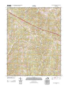
2022 Boyd Tavern
Fluvanna County, VA
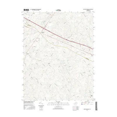
2022 Zion Crossroads
Fluvanna County, VA