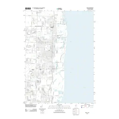
2012 Map of Zion
USGS Topo · Published 2012About this map
Lake Michigan dominates the eastern edge of this coastal survey, where the Illinois shoreline meets the State Line. The grid of Zion and Winthrop Harbor reflects a densely developed corridor between the water and the Waukegan Regional Airport. Along the lakefront, the landscape transitions from the modern facilities at North Point Marina to the protected natural areas around Kellogg Ravine and Sand Pond.
Find a feature on this map
209 named features on this map. Tap any name to fly to it.
Don’t see what you’re looking for? This feature index may not catch every label — zoom into the map to look around manually.
Map Details
Editions of this 2012 Zion Map
This is the sole edition of this map. No revisions or reprints were ever made.
Other maps of this area

1892 · Racine
USGS Topo · 1:62,500

1905 · Racine
USGS Topo · 1:62,500

1906 · Waukegan
USGS Topo · 1:62,500

1908 · Waukegan
USGS Topo · 1:62,500
1958 · Kenosha
USGS Topo · 1:24,000
1958 · Pleasant Prairie
USGS Topo · 1:24,000

1958 · Racine
USGS Topo · 1:250,000
1959 · Racine
USGS Topo · 1:62,500
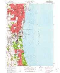
1960 · Waukegan
USGS Topo · 1:24,000
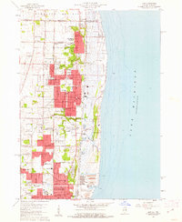
1960 · Zion
USGS Topo · 1:24,000