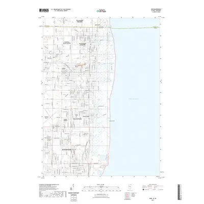
2021 Map of Zion
USGS Topo · Published 2021About this map
Lake Michigan dominates the eastern edge of this coastal landscape, where the State Line separates Pleasant Prairie, Wisconsin, from the Illinois lakefront communities. The corridor between Winthrop Harbor and the northern reaches of Waukegan reveals a mix of residential expansion and preserved natural features. Significant green spaces and memorial sites are found throughout, including Mount Olivet Memorial Park and the lakeside Pine View Memorial Park.
Find a feature on this map
75 named features on this map. Tap any name to fly to it.
Don’t see what you’re looking for? This feature index may not catch every label — zoom into the map to look around manually.
Map Details
Editions of this 2021 Zion Map
This is the sole edition of this map. No revisions or reprints were ever made.
Other maps of this area

1892 · Racine
USGS Topo · 1:62,500

1905 · Racine
USGS Topo · 1:62,500

1906 · Waukegan
USGS Topo · 1:62,500

1908 · Waukegan
USGS Topo · 1:62,500
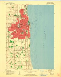
1958 · Kenosha
USGS Topo · 1:24,000
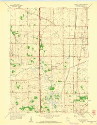
1958 · Pleasant Prairie
USGS Topo · 1:24,000

1958 · Racine
USGS Topo · 1:250,000
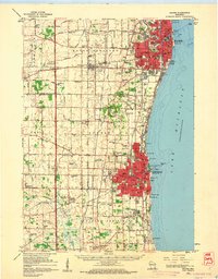
1959 · Racine
USGS Topo · 1:62,500
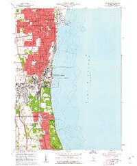
1960 · Waukegan
USGS Topo · 1:24,000
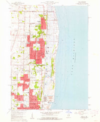
1960 · Zion
USGS Topo · 1:24,000