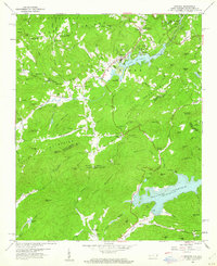
1959 Map of Zirconia
USGS Topo · Published 1962About this map
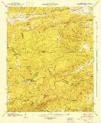
The Blue Ridge and Saluda Mountains dominate this 1959 landscape, where the waters of the Green River are harnessed at Lake Summit. The map documents a transition from the industrial and transport hub at Zirconia, served by the Southern railroad, to the managed waters of the Poinsett Reservoir further south. Genealogists and local historians will find several family-named landmarks and community centers, including Mount Olive Ch, Mountain Valley Cem, and Pace Cem, which anchor the small valley settlements.
Find a feature on this map
110 named features on this map. Tap any name to fly to it.
Don’t see what you’re looking for? This feature index may not catch every label — zoom into the map to look around manually.
Map Details
Editions of this 1959 Zirconia Map
3 editions found
Other maps of this area

1905 · Pisgah
USGS Topo · 1:125,000

1906 · Pisgah
USGS Topo · 1:125,000

1907 · Saluda
USGS Topo · 1:125,000

1935 · Standingstone Mtn.
USGS Topo · 1:24,000

1935 · Horse Shoe
USGS Topo · 1:24,000

1935 · Hendersonville
USGS Topo · 1:24,000

1935 · Fishtop
USGS Topo · 1:24,000

1935 · Zirconia
USGS Topo · 1:24,000
1942 · Horse Shoe
USGS Topo · 1:24,000
1946 · Standingstone Mtn.
USGS Topo · 1:24,000