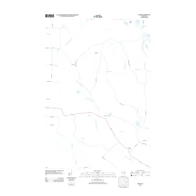
2013 Map of Zoar
USGS Topo · Published 2013About this map
The settlement of Zoar anchors this portion of Wisconsin's glacial landscape, where the Little W Br Wolf River and Red River carve through the forested terrain. The map details a hydrographic network of springs and lakes, including the aptly named Red Springs, Chisel Springs, and Sipes Spring. The proximity of Lake Neconish, Lake Noseum, and Lake Elma suggests a landscape shaped by water and timber, with the Red River Camp and Camp Black Hawk highlighting the area's use for recreation or natural resource management.
Find a feature on this map
48 named features on this map. Tap any name to fly to it.
Don’t see what you’re looking for? This feature index may not catch every label — zoom into the map to look around manually.
Map Details
Editions of this 2013 Zoar Map
This is the sole edition of this map. No revisions or reprints were ever made.
Other maps of this area

1952 · Antigo
USGS Topo · 1:48,000

1952 · White Lake
USGS Topo · 1:48,000

1954 · Wittenberg
USGS Topo · 1:48,000

1954 · Gresham
USGS Topo · 1:48,000

1954 · Iron Mountain
USGS Topo · 1:250,000

1955 · Green Bay
USGS Topo · 1:250,000

1959 · Iron Mountain
USGS Topo · 1:250,000

1964 · Wittenberg
USGS Topo · 1:62,500

1964 · Gresham
USGS Topo · 1:62,500
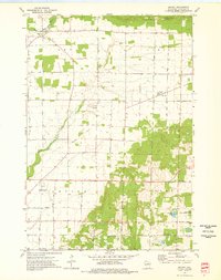
1973 · Bryant
USGS Topo · 1:24,000