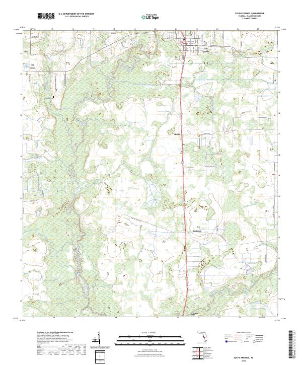
2024 Map of Zolfo Springs
USGS Topo · Published 2024About this map
Zolfo Springs serves as the primary hub of this Hardee County landscape, where the Peace River carves a winding path through a terrain defined by citrus groves and rural homesteads. The settlement pattern follows a distinct north-south corridor along the river and railway, connecting the smaller communities of Moffitt, Buchanan, and Gardner. Local history is anchored by the Oak Grove area, where the Oak Grove Cem remains a significant genealogical landmark near the headwaters of Troublesome Creek. The map details a complex network of named water bodies, including Alligator Branch and Charlie Creek, which drain the low-lying wetland areas and agricultural fields. This modern survey reflects the enduring rural character of central Florida, illustrating how contemporary roads like George Anderson Rd and Old Crewsville Rd still trace the historical boundaries of large family landholdings and citrus operations.
Find a feature on this map
72 named features on this map. Tap any name to fly to it.
Don’t see what you’re looking for? This feature index may not catch every label — zoom into the map to look around manually.
Map Details
Editions of this 2024 Zolfo Springs Map
This is the sole edition of this map. No revisions or reprints were ever made.
Other maps of this area

1955 · Ft. Green
USGS Topo · 1:24,000

1955 · Wauchula
USGS Topo · 1:24,000

1956 · Gardner
USGS Topo · 1:24,000

1956 · Ona
USGS Topo · 1:24,000

1956 · Sweetwater
USGS Topo · 1:24,000

1956 · Limestone
USGS Topo · 1:24,000

1956 · Zolfo Springs
USGS Topo · 1:24,000

1956 · Crewsville SW
USGS Topo · 1:24,000

1956 · Griffins Corner
USGS Topo · 1:24,000

1956 · Fort Pierce
USGS Topo · 1:250,000